S3BXNAV3500PCar Navigation
Carpoint Co., Ltd.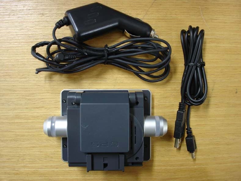
Click to zoom
Application Details
- Equipment Class
- JBP - Part 15 Class B Computing Device Peripheral
- Date of Grant
- Mar 24, 2005
- Application Purpose
- Original Equipment
- Date of Application
- Mar 24, 2005
- Equipment Note
- Car Navigation
- Company
- Carpoint Co., Ltd.
- Country
- South Korea
Documents & Files
Document Text
Text extracted from the exhibit documents filed with the FCC. Open a document above to read the original.
Users Manual
1 Preface The XNAV3500P combines state-of-the-art turn-by-turn navigation with a built-in multimedia player. Before operating, take a few minutes to review the safety and operating instructions in this manual so you can quickly and safely become familiar with its many features. This Quick Start Guide explains the system functions, and provides details on: • Safety information • Control locations • Setting up the unit • Navigation functions • Multimedia functions • System preferences Please read this manual prior to operating your XNAV3500P. 2 Safety Information and Precautions WARNING! PLEASE READ AND FOLLOW THE FOLLOWING SAFETY PRECAUTIONS. FAILURE TO FOLLOW THE INSTRUCTIONS BELOW MAY INCREASE YOUR RISK OF COLLISION AND PERSONAL INJURY. The warning screen is displayed each time the Navigation Icon is selected as a reminder to make use of the system’s navigational aids in a safe manner. Before using the XNAV3500P, read this entire manual. Make sure that you are familiar with the features and know how to operate the system. Proper use of the XNAV3500P includes the following guidelines: The navigation system is not a substitute for your personal judgment. The route suggestions should never supersede any local traffic regulation or your personal judgment and /or knowledge of safe driving practices. Prior to completing any maneuvers suggested by your navigation system (for example, a U-turn or a left turn), verify that you can legally and safely complete the maneuver. Do not follow route suggestions if they direct you to perform an unsafe or illegal maneuver, would place you in an unsafe situation, or would route you into an area that you consider unsafe. Glance at the screen only when necessary and safe to do so. Let the voice guide you. If prolonged viewing is necessary, pull off the road to a safe location. The database may not include all emergency service providers. Use your own best judgment and ask for directions in these situations. If the vehicle is in motion, only a passenger should program the unit. The driver should not program the unit unless the vehicle is parked in a safe location. The map database provides information on suggested routes without regard to factors that may affect your driving experience or the time required to arrive at your destination. For example, the system does not reflect road detours, closures or construction, some road characteristics (e.g., road surface, slope or grade, weight or height restrictions, etc.), temporary traffic congestion, weather conditions, and similar factors. 3 Introduction to your Navigation System As you travel, your navigation system functions as your co-pilot, providing turn-by-turn visual and voice assistance to direct you to your selected destination. Because the system knows where you are and where you want to go, it can quickly calculate step-by-step directions that provide a route to any destination available on the included navigation map. The map includes millions of roadway and mapping destinations, and preprogrammed point of interest (POI) locations in several different categories. Simply enter your desired destination into your navigation system, and its advanced intelligence does the rest. With your navigation system, if you deviate from the planned route, the navigation system will automatically recalculate the route to determine a new one from your current location. The navigation system uses Global Positioning System (GPS) satellites, and a digital roadway map database to calculate and display travel directions. The system’s GPS antenna receives signals from a constellation of 24 satellites orbiting the earth and uses the strongest of signals, to determine your position to within meters. The navigation system’s sophisticated software provides the highly accurate positioning necessary to provide real-time, accurate, turn-by-turn route guidance. Vehicle Position The navigation system’s computer considers vehicle speed and heading changes, together with longitude and latitude information, to accurately determine vehicle heading and position on a digital map. This information is relayed to you as you proceed to your selected destination through audible suggestions, turn symbols, and the on screen map. Signals from GPS satellites are used to determine the vehicle location. Three (good) or four (best) satellites must be received to accurately determine location. The GPS reception status is indicated by the GPS symbol on the map. See the GPS indicator section on page 14 for more information. Map and Information Database The map database used by your navigation system was created using high-resolution aerial and land based data collection and is stored on a memory card. This data is enhanced with useful travel information, such as freeway signage and approximately two million points of interest locations in several different categories, such as tourist attractions, gas stations, airports, and restaurants. While the database was judged to be as accurate as possible at the time of its release, a map database can never be 100% accurate. Road information that is maintained in the map databases, such as turn restrictions or road names may change over time. In addition, points of interests, such as restaurants, hotels, and gas stations, also change over time. The complexity of keeping this directory current means that some information may be missing or out-of-date at times. 4 Package Contents Quick Start Guide XNAV3500P Windshield Mount Carry Bag 12VDC Adapter USB Cable Software Disc Stylus 5 Control Locations Front View ① LED Left/Right Turn Indicators ② Map Zoom In/Out ③ Power On/Off ④ Main Menu ① Speaker ② Docking Mount ③ SD Memory Card Slot ① ② ③ ④ ① ② ③ Rear View ① ① USB Connector ② Reset ③ Sync ④ Stylus Holder ① GPS Antenna ②Volume ③ 12VDC Input ④ Audio Out ① ② ③ ④ Left Side Right Side ① ② ③ ④ 6 Getting Started Inserting an SD Card Your device has an SD slot in the top. Digital maps and other data including MP3 files, movie…
Text truncated - open the document above for the full version.
External Photos
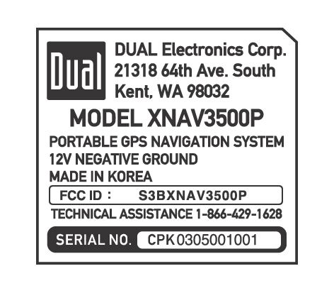
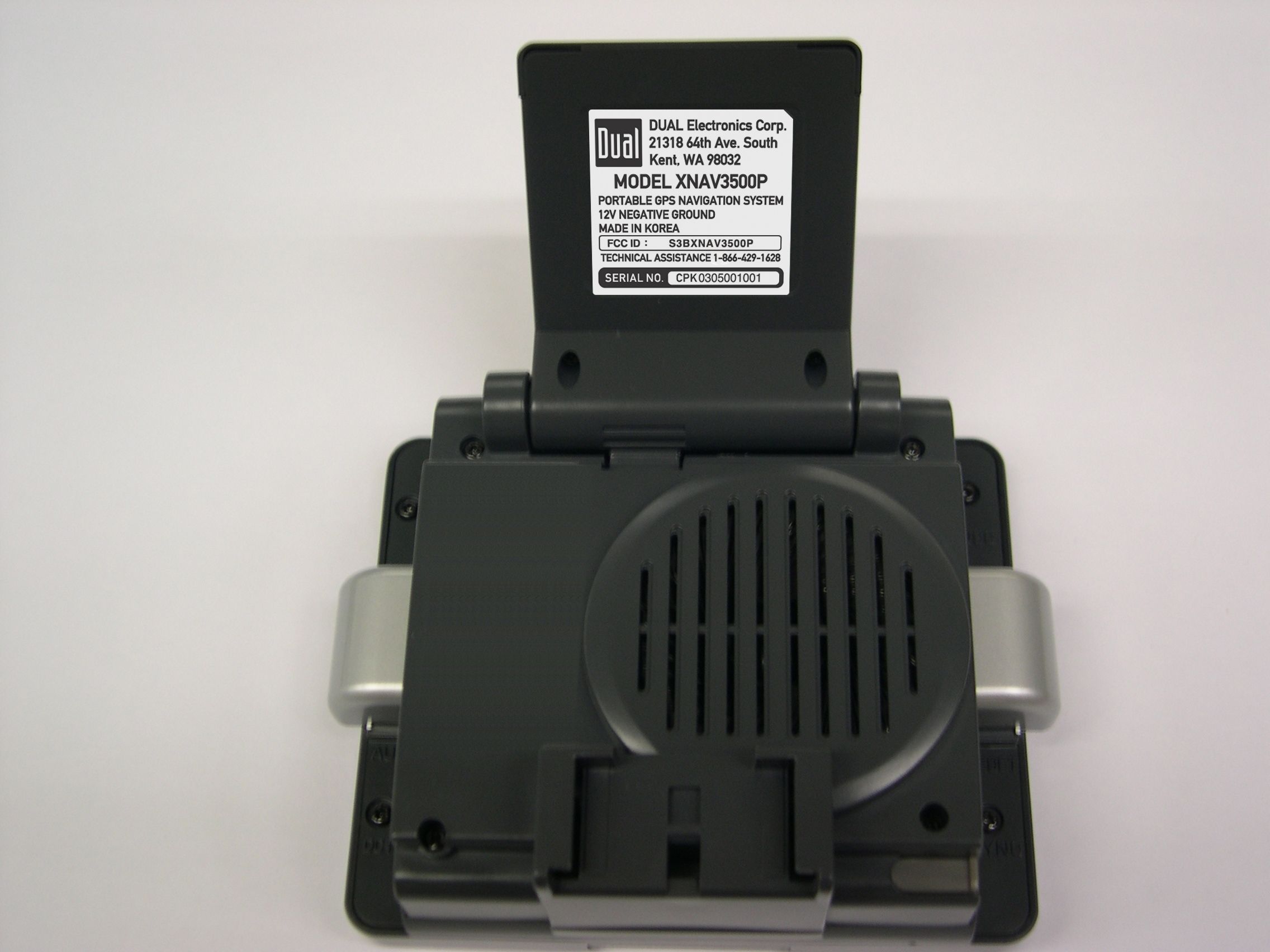
Photographs (Outside) <Outside – Front> <Outside – Rear>
Internal Photos
Photographs (inside) <Inside – LCD> <Inside – PCB>
Test Report
KTL Korea Testing Laboratory Page 1 of 9 TEST REPORT This test report only responds to the tested sample and shall not be reproduced except in full without written approval of the Korea Testing Laboratory. Tested and reported by Reviewed by Bum-Jong Kim, Engineer Won-Seo Cho , Telecommunication Team Manager KOREA TESTING LABORATORY FG101-01-02-00 222-13, Guro-Dong Guro-Gu Seoul Korea 152-053 http://www.ktl.re.kr Ref. Report No. 05-341-012 Name and address of the applicant Carpoint Co., Ltd. Suite 2502, Trade Tower, #159-1, Samseong-dong, Gangnam-gu, Seoul, Korea Standard / Test regulation FCC Part 15, Subpart B Test result Pass Incoming date : March 8, 2005 Test item(s) ; Class B Computing Device Peripheral (Car Navigation) Model/type ref. ; XNAV3500P Manufacturer ; Carpoint Co., Ltd. Suite 2502, Trade Tower, #159-1, Samseong- dong, Gangnam-gu, Seoul, Korea Additional information ; -Required Authorization : Certification -FCC ID. : S3BXNAV3500P Test date : March 10, 2005 Issue date : March 25 , 2005 Ref. Report No. 05 - 341 – 012 Page 2 of 9 Korea Testing Laboratory Telecommunication Team 222-13, Guro3-dong, Guro-gu, Seoul Korea 152-848 TABLE OF CONTENTS I. GENERAL INFORMATION 3 1. Applicant’s Name and Mailing Address 2. Manufacturer's Name and Mailing Address 3. Equipment Descriptions 4. Rules and Regulations 5. Measuring Procedure 6. Date of Measurement II. GENERAL REQUIREMENTS OF THE EUT 4 1. Labeling Requirement (Section 15.19) 2. Information to User (Sections 15.21and 15.105) 3. Special Accessories (Section 15.27) III. RADIATED EMISSION MEASUREMENT (Section 15.109) 10 1. Test Procedure 2. Photograph for the test configuration 3. Sample Calculation 4. Measurement Data IV. TEST EQUIPMENTS USED FOR MEASUREMENT 13 Ref. Report No. 05 - 341 – 012 Page 3 of 9 Korea Testing Laboratory Telecommunication Team 222-13, Guro3-dong, Guro-gu, Seoul Korea 152-848 I. GENERAL INFORMATION 1. Applicant’s Name and : Carpoint Co.,Ltd. Mailing Address Suite 2502, Trade Tower, #159-1, Samseong-dong, Gangnam-gu, Seoul, Korea 2. Manufacturer's Name and : Carpoint Co.,Ltd. Mailing Address Suite 2502, Trade Tower, #159-1, Samseong-dong, Gangnam-gu, Seoul, Korea 3. Equipment Descriptions 3.1 Test Item : Car Navigation 3.2 Crystal used : 3.3864 MHz, 32.768 KHz 3.3 I/O port : USB port 3.4 Power Supply : DC 12 V ( Car battery ) 3.5 Model name : XNAV3500P 4. Devices of Test System Device Model name Serial Number Manufacturer Personal Computer DPEP P500 7951/CJN20009 Compaq Monitor DP15L/S DP15HICN102768 Compaq Mouse M-S34 166861-001 Compaq Keyboard PR235BTWKO B13BBOT39I7045 Compaq Printer 2225C+ 3145S02416 Hewlett Packard Car Navigation XNAV3500P - CarPoint 5. Rules and Regulations : FCC Part 15, Subpart B 6. Measuring Procedure : ANSI C63.4-2003 7. Date of Measurement 7.1 Conducted Emission : N/A 7.2 Radiated Emission : March 10, 2005 Ref. Report No. 05 - 341 – 012 Page 4 of 9 Korea Testing Laboratory Telecommunication Team 222-13, Guro3-dong, Guro-gu, Seoul Korea 152-848 II . GENERAL REQUIREMENTS OF THE EUT 1. Labeling Requirement (Section 15.19) This device complies with Part 15 of the FCC Rules. Operation is subject to the following two conditions: (1) this device may not cause harmful interference, and (2) this device must accept any interference received, including interference that may cause undesired operation. 1.1 Location of Label : User’s guide manual 1.2 How Applied : Printed 2. Information to User (Section 15.21 and 15.105) The following or similar statements were provided in the manual for user instruction. Please refer page 1 of the attached manual for details. CAUTION : Any changes or modifications in construction of this device which are not expressly approved by the party responsible for compliance could void the user's authority to operate the equipment. Note : This equipment has been tested and found to comply with the limits for a Class B digital device, pursuant to part 15 of the FCC Rules. These limits are designed to provide reasonable protection against harmful interference in a residential installation. This equipment generates, uses and can radiate radio frequency energy and, if not installed and used in accordance with the instructions, may cause harmful interference to radio communications. However, there is no guarantee that interference will not occur in a particular installation. If this equipment does cause harmful interference to radio or television reception, which can be determined by turning the equipment off and on, the user is encouraged to try to correct the interference by one or more of the following measures: - Reorient or relocate the receiving antenna. - Increase the separation between the equipment and receiver. - Connect the equipment into an outlet on a circuit different from that to which the receiver is connected. - Consult the dealer or an experienced radio/TV technician for help. Ref. Report No. 05 - 341 – 012 Page 5 of 9 Korea Testing Laboratory Telecommunication Team 222-13, Guro3-dong, Guro-gu, Seoul Korea 152-848 3. Special Accessories (Section 15.27) 3.1 Were the special Accessories provided? [ ] yes, [ x ] no 3.2 If yes, details for the special accessories are as follows : 3.3 If yes, were the appropriate instructions provided on the first page of the text concerned with the device? [ ] yes, [ ] no 3.4 Are these accessories provided of the type which can be readily obtained from multiple retail outlets ? [ ] yes, [ ] no And therefore does the manual specify what additional components or accessories are required to used in order to comply with the Rules? [ ] yes, [ ] no Ref. Report No. 05 - 341 – 012 Page 6 of 9 Korea Testing Laboratory Telecommunication Team 222-13, Guro3-dong, Guro-gu, Seoul Korea 152-848 III. RADIATED EMISSION MEASUREMENT (Section 15.109) 1. Test Procedure 1.1 Preliminary Testing for Reference Preliminary testing was performed in a KTL absorber-lined room to determine the emission characteristics of the EUT. The EUT was placed on the woode…
Text truncated - open the document above for the full version.
Test Setup Photos
TEST Photographs < Radiated emission – Front > < Radiated emission – Rear >
Contact Information
Applicant
Jasmine Y Shim(Senior Int'l Marketing Manager)
Test Firm
Korea Testing LaboratoryJeong-Min Kim
Technical Specifications
| # | Rule Parts | Frequency Range | Power Output |
|---|---|---|---|
| 1 | 15B | - | - |
Other Applications from Carpoint Co., Ltd.
S3BV4050
Oct 23, 2007Portable GPS Navigation Device
Equipment Class
DSS - Part 15 Spread Spectrum Transmitter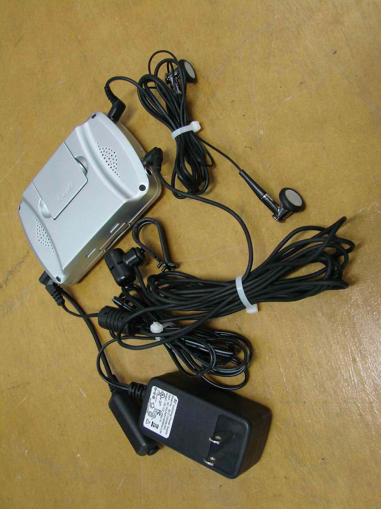
S3BNAV300-A1860I
Jun 18, 2007Portable GPS Navigation Device
Equipment Class
DSS - Part 15 Spread Spectrum Transmitter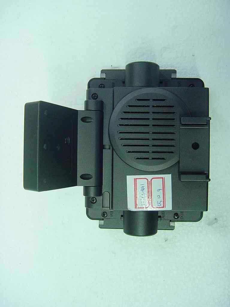
S3BX380
Jan 24, 2006Navigation
Equipment Class
JBP - Part 15 Class B Computing Device Peripheral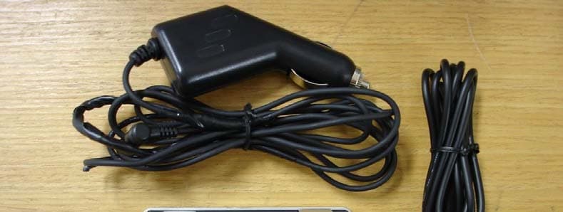
S3BXNAV3500A
Oct 16, 2005Portable GPS Navigation System
Equipment Class
JBP - Part 15 Class B Computing Device Peripheral